


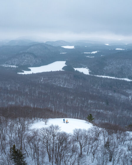
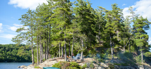
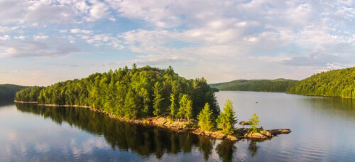
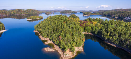
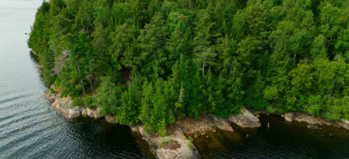
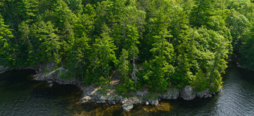
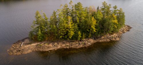
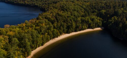
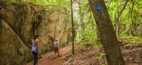
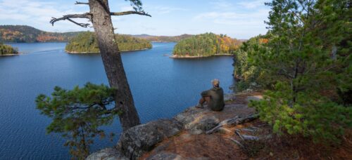
Trails and Viewpoints
at Montagne du Fort
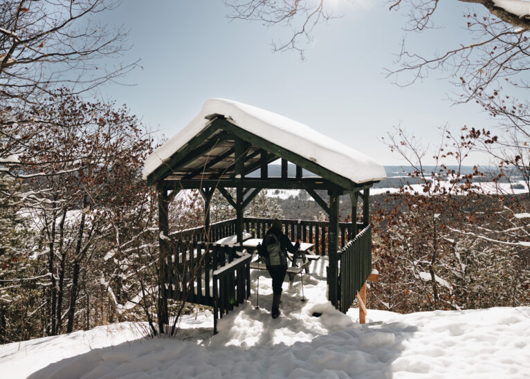
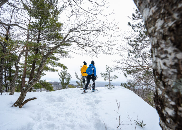
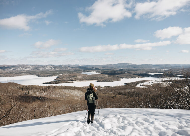
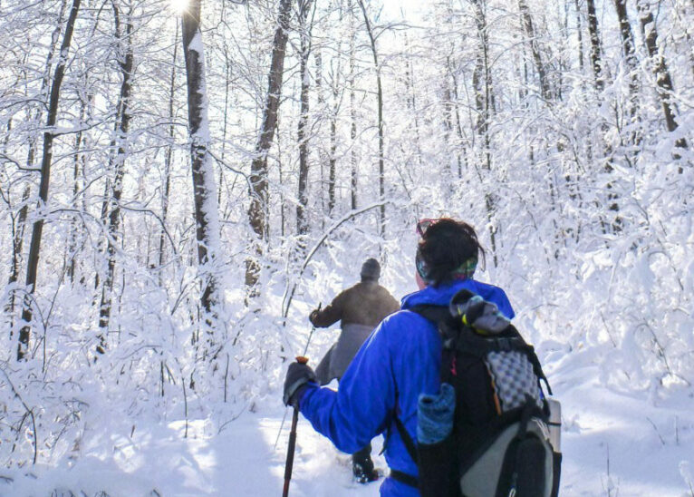
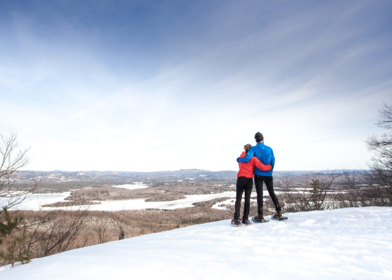
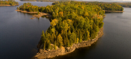
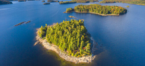
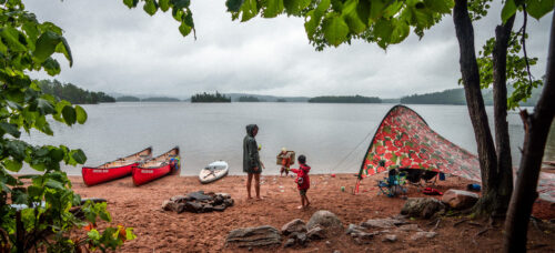
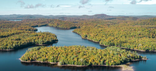
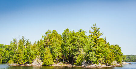
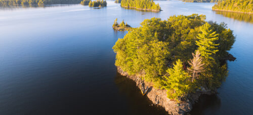
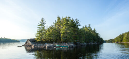
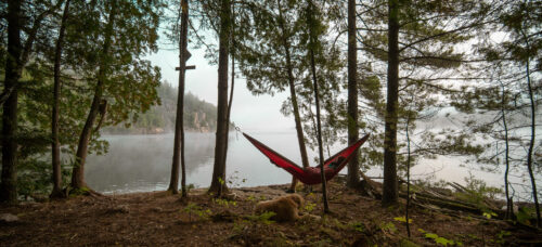
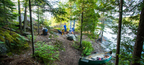
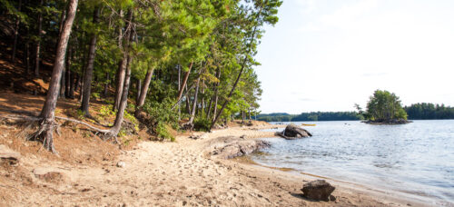
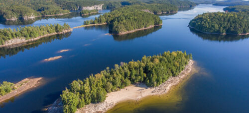
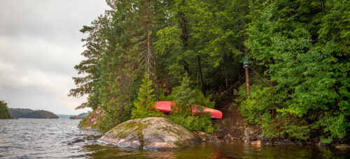
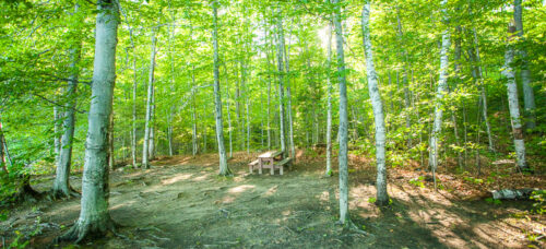
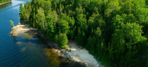
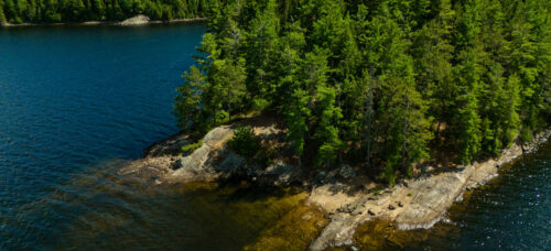
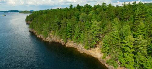
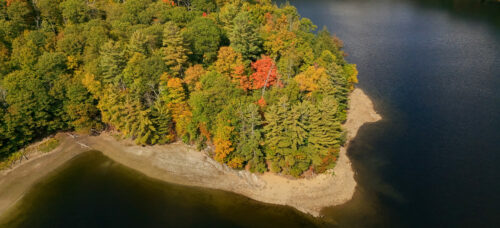
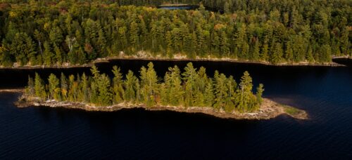
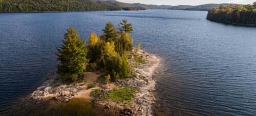
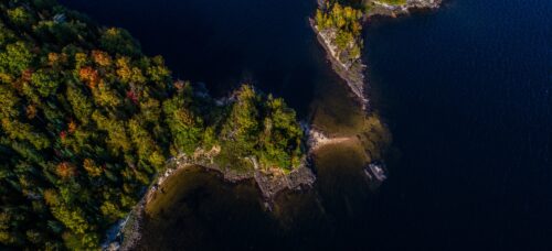
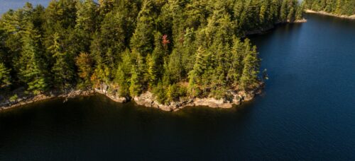
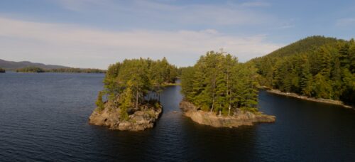
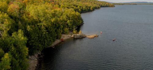
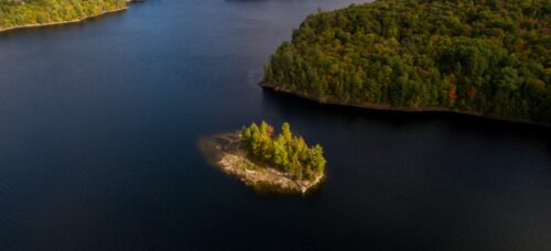
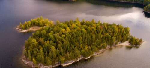
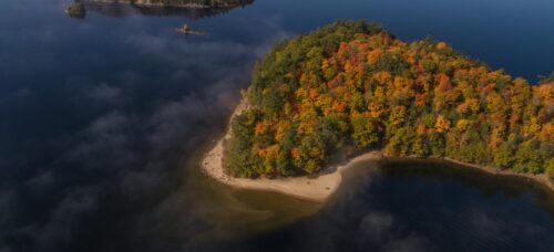
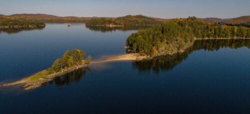
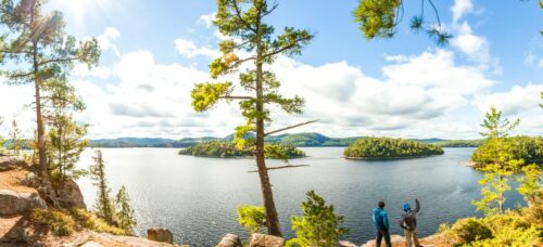
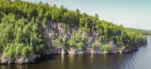
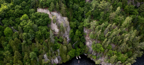
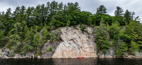
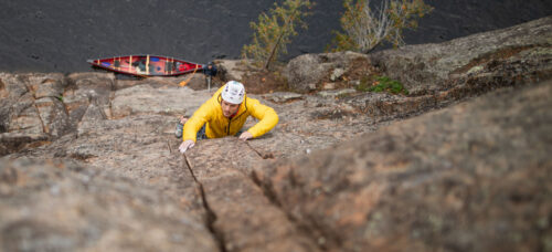
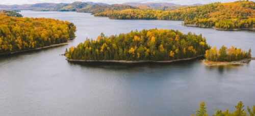
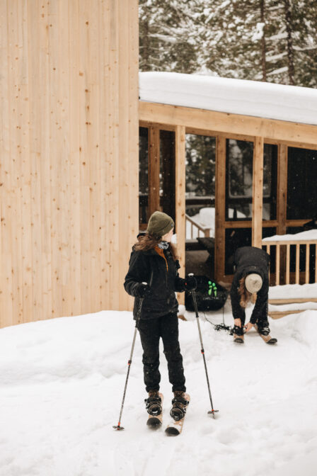
The hiking trails of Montagne du Fort are accessible by snowshoe and ski hok during the winter season. This intimate and magical territory offers a wide range of trails with the possibility to choose the right levels of difficulty. Discover these five viewpoints and admire the Poisson Blanc islands. For beginners in ski hok, we recommend sticking to the Baie-Durand trail. Otherwise, the trails feature challenging elevation changes for a first outing.
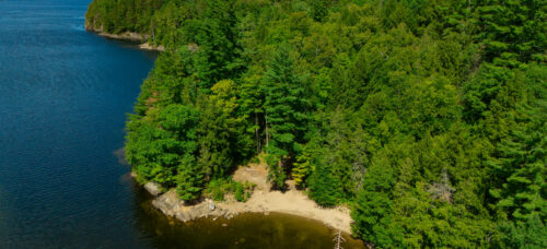
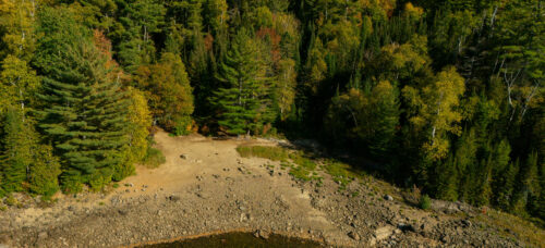
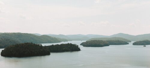
Please note that the trails on the islands and on the shores of the reservoir are not open during the winter period.
Difficulty Levels
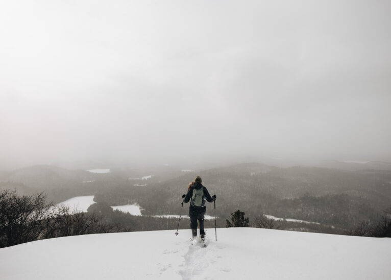
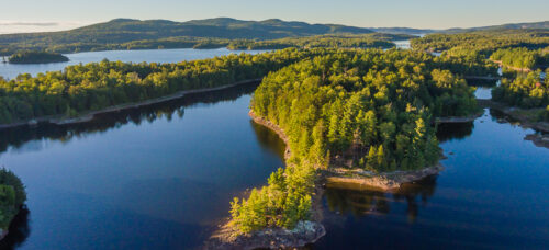
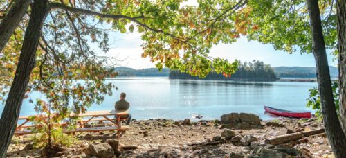
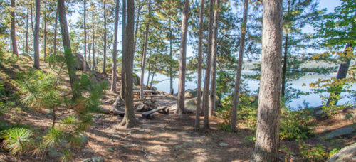
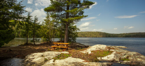
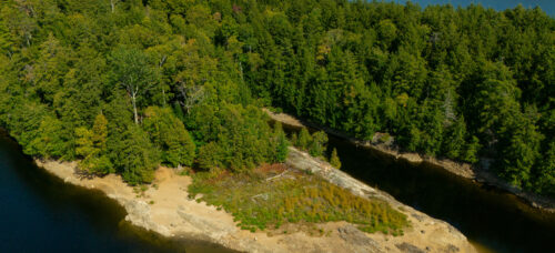
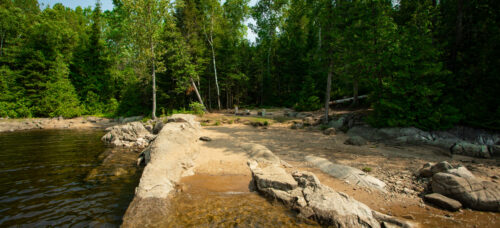
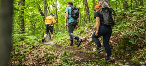
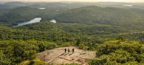
The hiking trails of the Montagne du Fort and Lac Cuillèrier sector are good for beginner, intermediate, and advanced hikers. The shortest trail that leads to a lookout is 1 km long. The longest is 5 kilometers. Now, we’re only talking about the hike in- not the return journey. Please plan your outing accordingly, especially during the winter season.

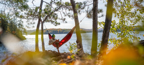
Discover the Ski-hok
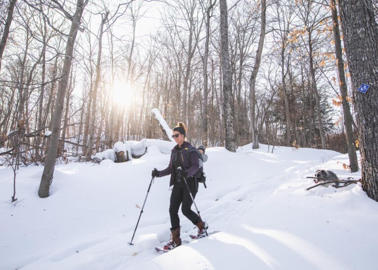
Half-ski, half-snowshoe, the ski-hok gives you the opportunity to explore all kinds of snowy areas. Curious? Rent your pair and discover the Baie du Doré. Already initiated? The montagne du Fort will be your playground!
-
Reception - Le Bastion
-
The Prisme
60 meters 1 minute by foot
-
The Grand-Héron
200 meters 2 minutes by foot
-
The Tourterelle
250 meters 4 minutes by foot
-
The Cardinal
300 meter 4 minutes by foot
-
The Pic-Flamboyant
300 meter 4 minute by foot
-
The Pic-Mineur
400 meters 5 minutes by foot
-
The Grand-Pic
400 meters 5 minutes by foot
-
1 La Cigogne
0,5 km ≈ 15 min
-
2A Le Site des Pères
2 km ≈ 40 min
-
2C La Pointe des Pères
2 km ≈ 40 min
-
3A Le Site des Mauves
1.3 km ≈ 30 min
-
3B La Pointe des Mauves
1.5 km ≈ 30 min
-
6 La Sainte Paix
1.6 km ≈ 30 min
-
12A Le Cap du Soleil Couchant
2.5 km ≈ 45 min
-
12C La Pointe aux Harles
2.5 km ≈ 45 min
-
12D La Pointe aux Cerisiers
2.5 km ≈ 45 min
-
13 Le Soleil du Midi
3.5 km ≈ 1h15
-
20 Les Pieds dans le Sable
1.6 km ≈ 30 min
-
23A L'Aurore
3 km ≈ 1h
-
23B La Pointe à Bill
3.7 km ≈ 1h15
-
24 La Pointe du Couchant
3.3 km ≈ 1h10
-
25 La Retraite
3 km ≈ 1h
-
26 La Lagune
4 km ≈ 1h20
-
27A La Canopé
4 km ≈ 1h20
-
27B La Cigale
5 km ≈ 1h30
-
29 L'Île à la Loutre
4 km ≈ 1h20
-
31 Le Paradis
4,5 km ≈ 1h30
-
34 Le Katimavik
4 km ≈ 1h20
-
36 L'Entrée du Chenal
4.9 km ≈ 1h40
-
39 La Pointe aux Bleuets
5.4 km ≈ 1h45
-
40 L'Oasis
5 km ≈ 1h30
-
41A La Pointe de Granit
6 km ≈ 2h
-

41B L'Horizon
7.5 km ≈ 2h15
-
42A La Chanterelle
6 km ≈ 2h
-
42E L'Équateur
7 km ≈ 2h
-
44A L'Enclume
9 km ≈ 3h
-
44B L'Évasion
9 km ≈ 3h
-
44C La Pointe à la Perdrix
9 km ≈ 3h
-
45A Le Parasol
9 km ≈ 3h
-
45B La Pointe aux Dorés
9 km ≈ 3h
-
47A La Pointe du Brochet
9.1 km ≈ 3h
-
47B La Terrasse
9.1 km ≈ 3h
-
47C La Pointe Ensoleillée
10 km ≈ 3h20
-
52A La Plage Cachée
11 km ≈ 3h40
-
52C Le Cap Siffleur
11 km ≈ 3h40
-
55A Le Lagon Bleu
12.5 km ≈ 4h10
-
55C Le Site de la Sand Bar
13 km ≈ 4h20
-
56 Le Rocher Fendu
13.5 km ≈ 4h30
-
59 La Pointe aux Bouleaux
15 km ≈ 5h
-
60 La Plage d'Or
14 km ≈ 4h30
-
63A Le Cap à la Tortue
15 km ≈ 5h
-
63B Le Site de la Paroi Éléphant
15.2 km ≈ 5h
-
63C La Péninsule
15.5 km ≈ 5h10
-
64 L'Île Mira
15 km ≈ 5h
-
65 L'Aube
12,5 km ≈ 4h
-
66A La Pointe aux Pins
13 km ≈ 4h20
-
66D Le Cap à l'Aigle
13.5 km ≈ 4h30
-

68 L'Île aux Voyageurs
14 km ≈ 4h30
-
70A La Petite Plage
16.4 km ≈ 5h30
-
70B La Grande Plage
16.4 km ≈ 5h30
-
70C La Pointe aux Chênes
16.2 km ≈ 5h30
-
70G La Citadelle
14 km ≈ 4h30
-
70K La Pointe de l'Épervier
16.2 km ≈ 5h20
-
72A Le Philosophe
15.2 km ≈ 5h10
-
72B L'Anse
15.5 km ≈ 5h20
-
72D La Bas-Canada
16.5 km ≈ 5h50
-
75A La Pointe Prisée
15 km ≈ 5h10
-
75B La Plage Émeraude
16.5 km ≈ 5h50
-
75C La Baie Claire
16.7 km ≈ 5h50
-
77A Le Cap des Pierres
16 km ≈ 5h30
-
77B L'Heure Dorée
16.5 km ≈ 5h40
-
80A La Destination
17.2 km ≈ 6h00
-
80B Le Banc de Sable
17.4 km ≈ 6h00
-
85A L'Île aux Patates
18.6 km ≈ 6h25
-
89 L'Île aux Grenouilles
19 km ≈ 6h40
-
90 Le Site à l'Argile
19.5 km ≈7h00
-
91B L'Île aux Géants
19.8 km ≈ 7h15
-
M1 - Le Site de la Plage
6.5 km 10 minutes by car
-
M2 - Le Camp de Base
6.7 km 10 minutes by car
-
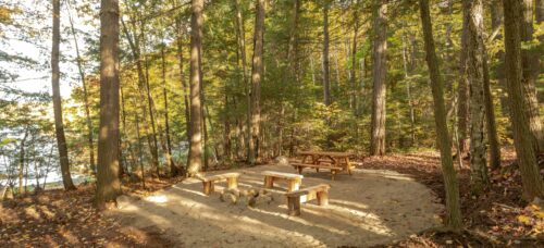
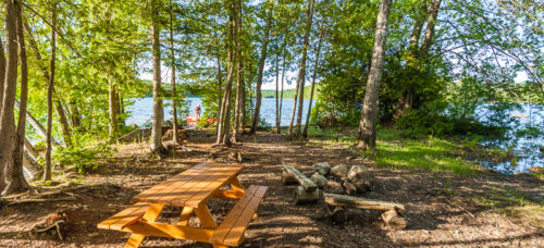
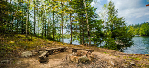
Picnic Stop 8
2 km ≈ 40 min
-
Picnic Stop 9
2 km ≈ 40 min
-
Picnic Stop 10
2.2 km ≈ 45 min
-
Picnic Stop 12B
2.5 km ≈ 45 min
-
Picnic Stop 21
1.5 km ≈ 30 min
-
Picnic Stop 22
2 km ≈ 40 min
-
Picnic Stop 28B
3.8 km ≈ 1h20
-
Picnic Stop 30B
3.8 km ≈ 1h20
-
Picnic Stop 33C
4.5 km ≈ 1h20
-
Picnic Stop 35
4.5 km ≈ 1h20
-
Picnic Stop 38
5 km ≈ 1h40 min
-
Picnic Stop 42B
6.5 km ≈ 2h30
-
Picnic Stop 48
10.5 km ≈ 3h30
-
Picnic Stop 49
11 km ≈ 3h40 min
-
Picnic Stop 54C
12 km ≈ 4h
-
Picnic Stop 55D
13 km ≈ 4h20
-
Picnic Stop 55E
13.5 km ≈ 4h40
-
Picnic Stop 57A
14 km ≈ 5h
-
Picnic Stop 57B
14 km ≈ 5h
-
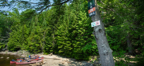
Picnic Stop 66C
14 km ≈ 5h
-
Picnic Stop 63D
15.5 km ≈ 5h20
-
Picnic Stop 72C
15.5 km ≈ 5h20
-
Picnic Stop 73A
15.5 km ≈ 5h20
-
Picnic Stop 74
15.5 km ≈ 5h20
-
Picnic Stop 78A
17 km ≈ 6h
-
Picnic Stop 80C
18 km ≈ 6h
-
Picnic Stop 85B
18.8 km ≈ 6h20
-
Picnic Stop 87
19 km ≈ 6h30
-
Picnic Stop 91A
19.8 km ≈ 6h40
-
Picnic Stop 92A
19.2 km ≈ 6h30
-
Picnic Stop 92D
20 km ≈ 6h50
-
Picnic Stop 94B
20.8 km ≈ 7h
-
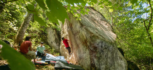
B2 Blocs des Pères
0,7 km ≈ 30 min 2 boulders 11 problems from V1 to V7-8
-
PS42 Psicobloc du Chenal
7 km ≈ 2h30 10 problems from V1 to V7-8
-
P42 Paroi Écho - Canot
7 km ≈ 2h30 32 routes from 5.6 to 5.12
-
P42 Paroi Écho - Terre-ferme
7 km ≈ 2h30 31 routes from 5.7 to 5.12
-
B44 Blocs du Chenal
7,5 km ≈ 2h45 11 problems from V1 to V9
-
P45 Paroi Amiral
9 km ≈ 3h 12 routes from 5.5 to 5.11
-
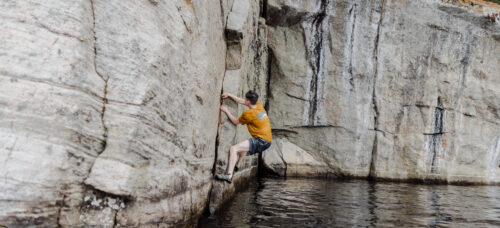
P63 Paroi Éléphant
15 km ≈ 5h 28 routes from 5.5 to 5.12
-
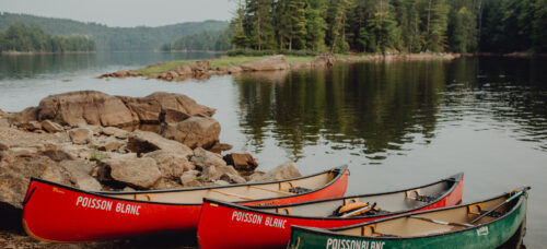
Plage du Rapide-du-Fort
5,5km
-
Sentier des Merisiers
around 1h15 Débutant
-
Sentier La Baie-Durand
around 2h30 Intermédiaire
-
Sentier Katimavik
Around 4 hours Intermédiaire
-
Sentier du Sommet
Intermédiaire
-
Sentier du Crique
around 4 hours Intermédiaire
-
Sentier du Chenal
Intermédiaire
-
Sentier le Cap du Sud
Intermédiaire
-
Sentier de l’Île en U
Intermédiaire
-
Sentier de la Paroi Éléphant
Débutant
-
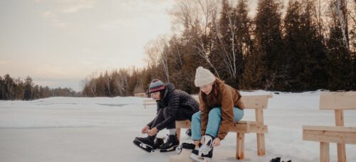
Ice Skating
100m 1 min
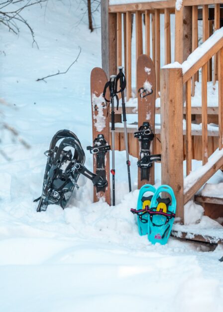
Snowshoe and Ski-hok Rental
Thanks to our equipment rental service, it is possible to rent snowshoes or skis-hooks at a fixed price for any length of stay. For more information, please visit our equipment rental page.
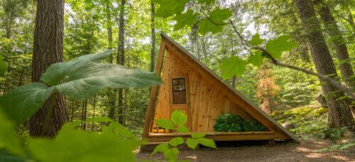
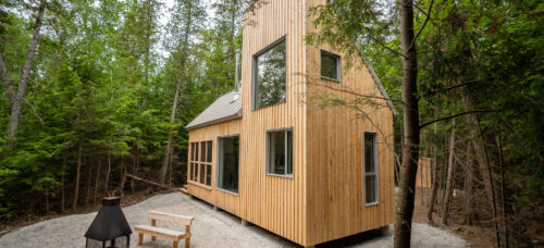
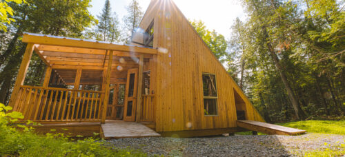
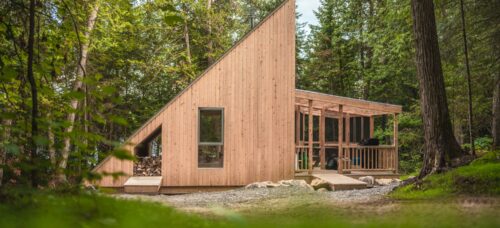
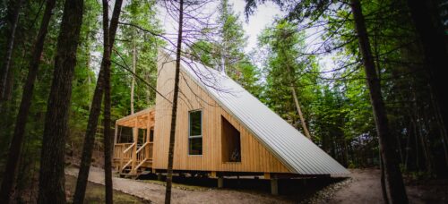
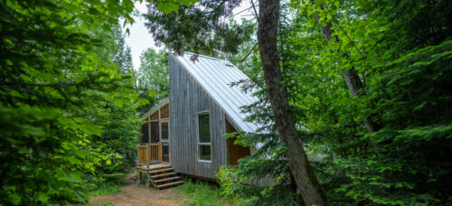
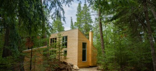
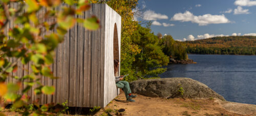
4 Seasons Cabins
Want to extend the pleasure? Rent one of our cabins for a complete outdoor experience without having too get out to much of your comfort zone.