
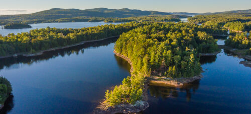
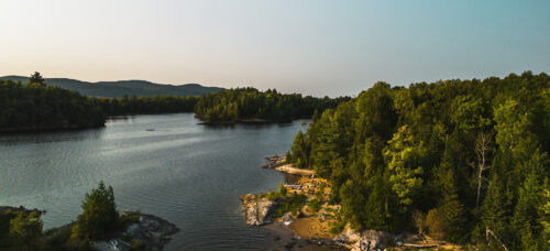
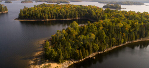
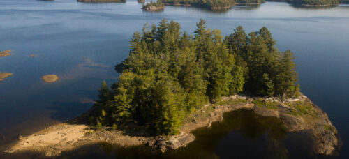
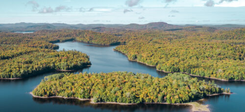
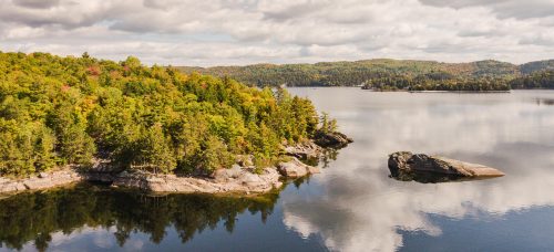
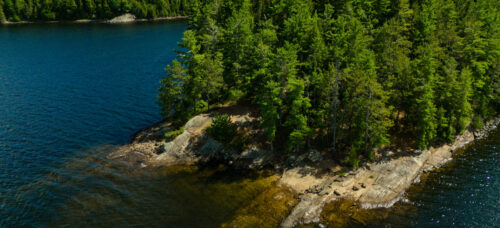
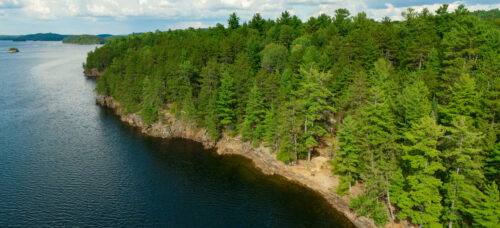
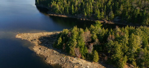
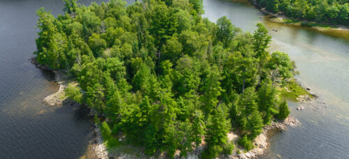
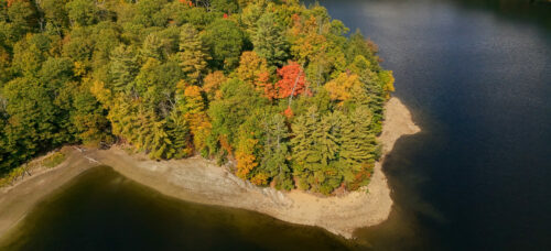
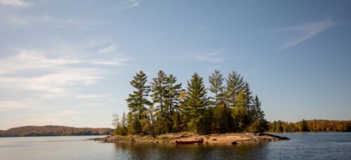
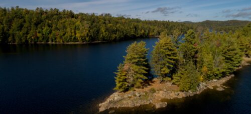
Here, navigating the reservoir
virtually is possible!
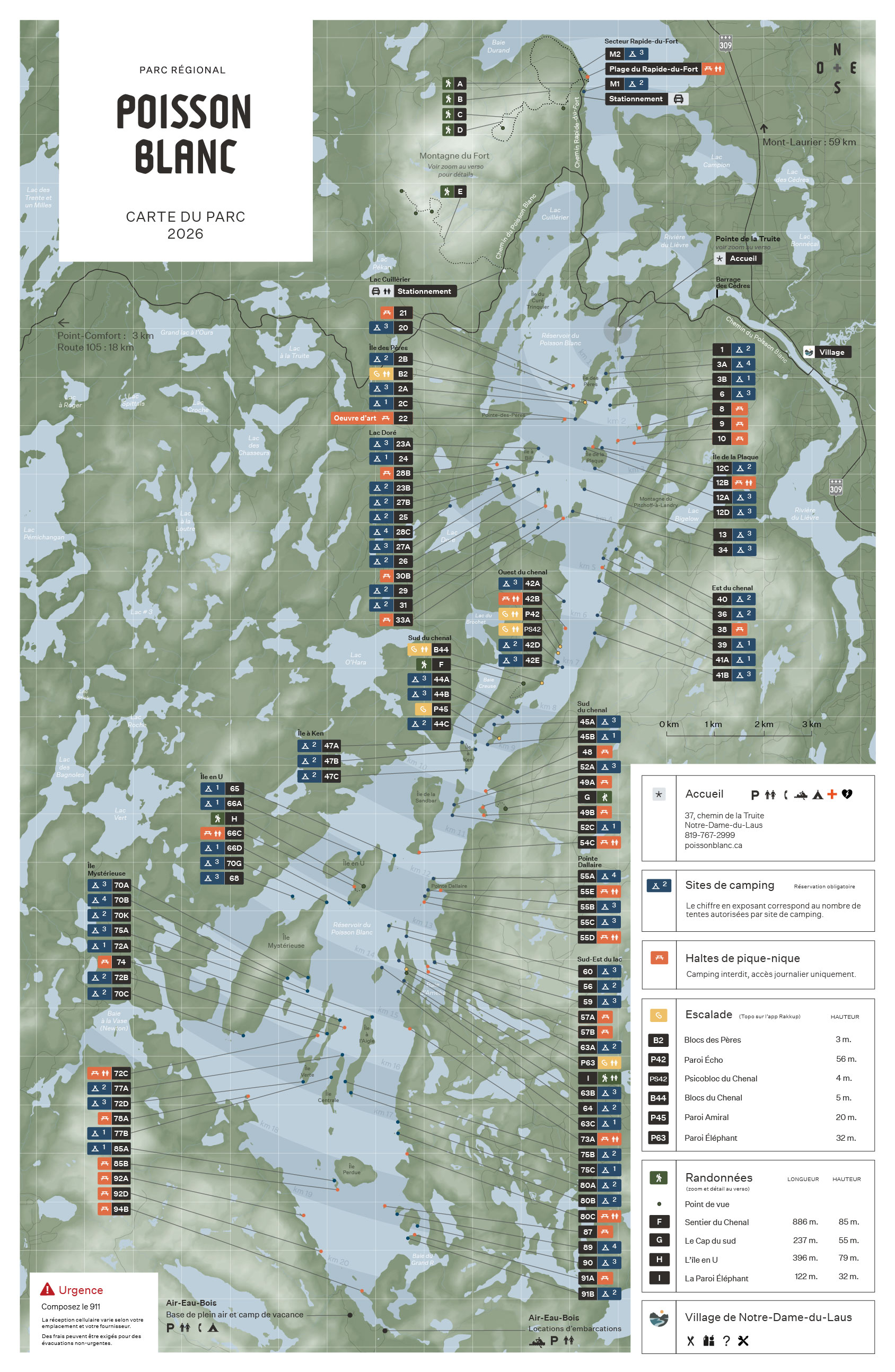
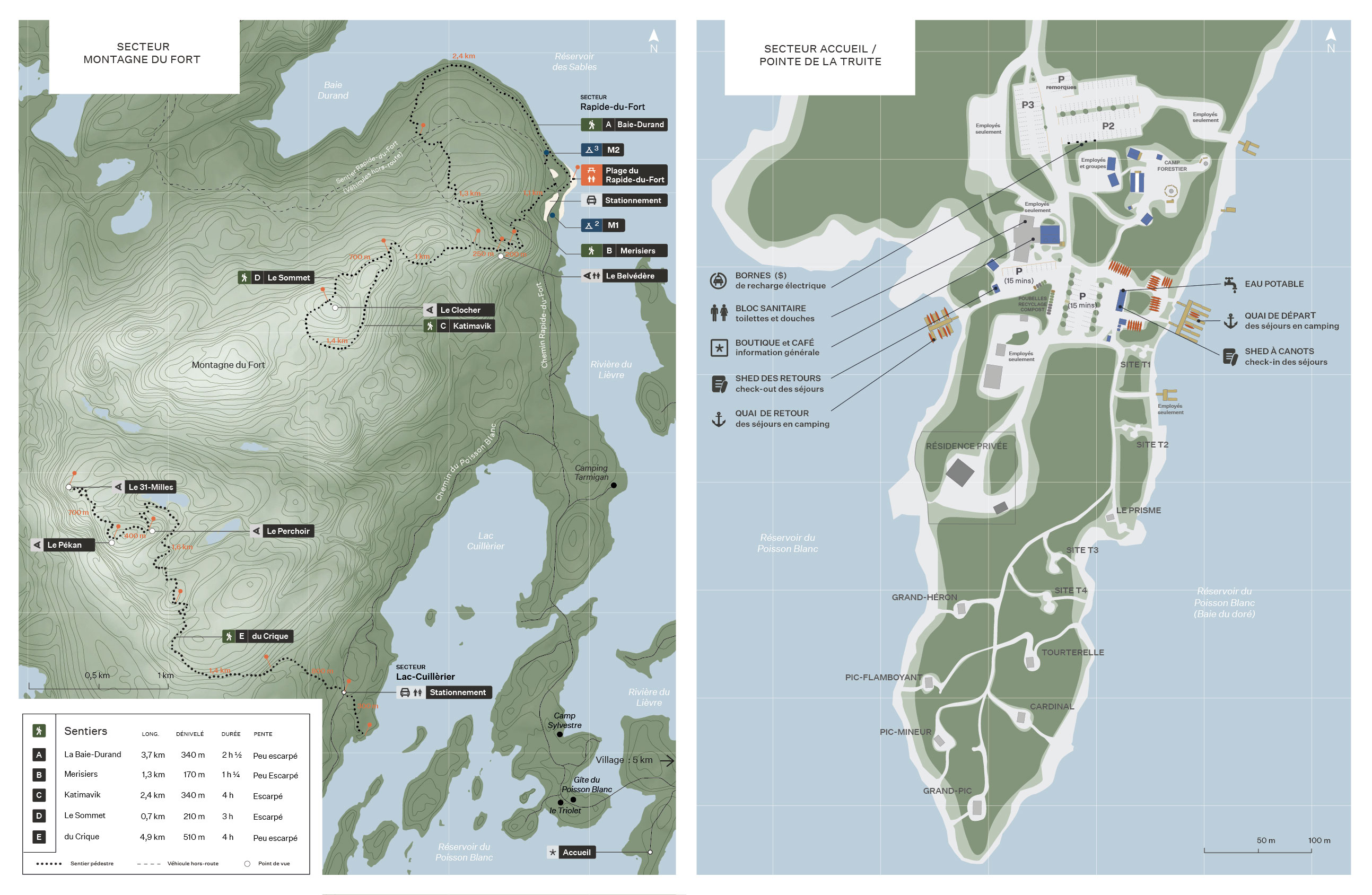
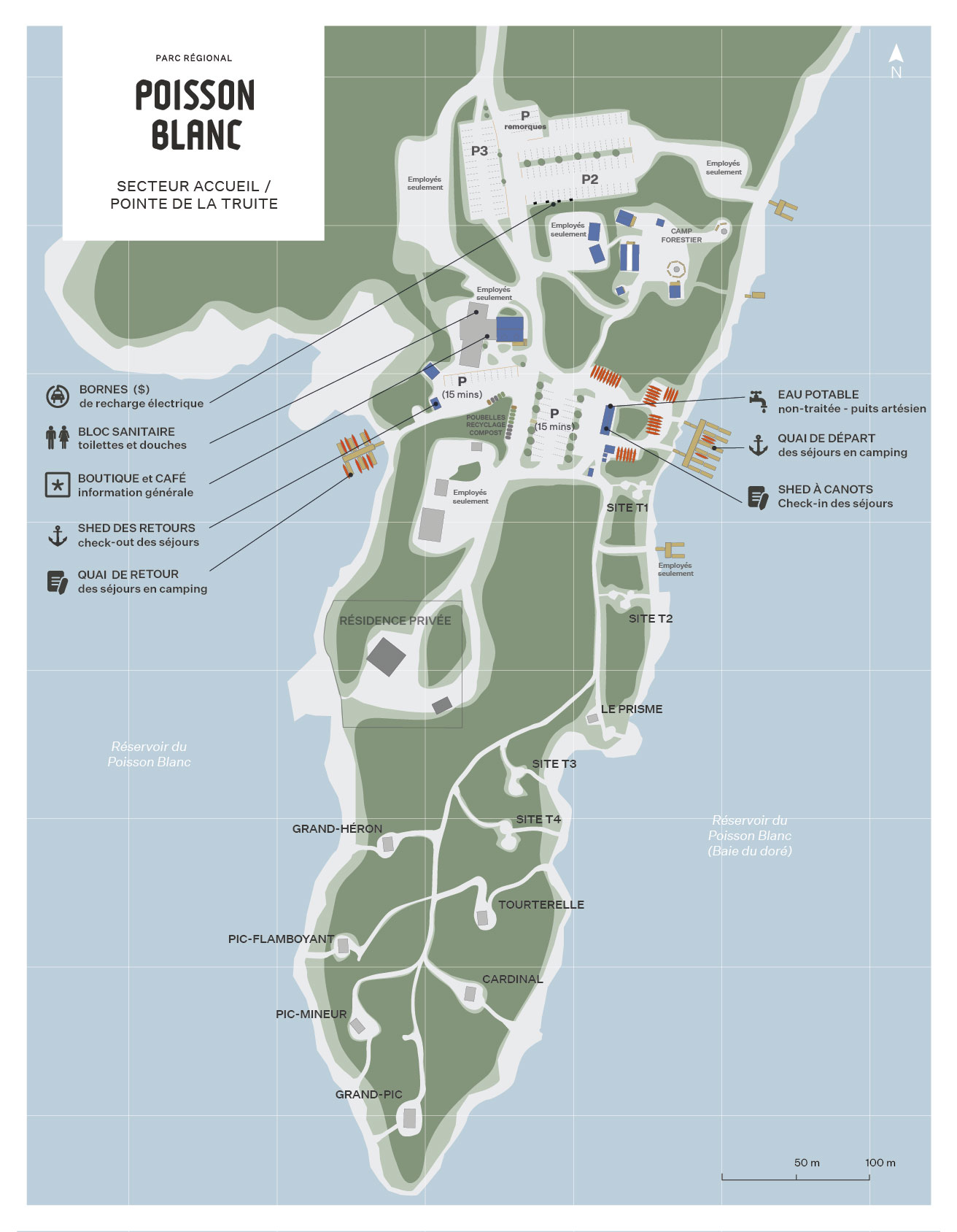
For an immersive experience, consult the interactive map of Poisson Blanc Regional Park or download the map on your device.


For an immersive experience, consult the interactive map of Poisson Blanc Regional Park or download the map on your device.
60 meters 1 minute by foot
200 meters 2 minutes by foot
250 meters 4 minutes by foot
300 meter 4 minutes by foot
300 meter 4 minute by foot
400 meters 5 minutes by foot
400 meters 5 minutes by foot
0,5 km ≈ 15 min
2 km ≈ 40 min
2 km ≈ 40 min
1.3 km ≈ 30 min
1.5 km ≈ 30 min
1.6 km ≈ 30 min
2.5 km ≈ 45 min
2.5 km ≈ 45 min
2.5 km ≈ 45 min
3.5 km ≈ 1h15
1.6 km ≈ 30 min
3 km ≈ 1h
3.7 km ≈ 1h15
3.3 km ≈ 1h10
3 km ≈ 1h
4 km ≈ 1h20
4 km ≈ 1h20
5 km ≈ 1h30
4 km ≈ 1h20
4,5 km ≈ 1h30
4 km ≈ 1h20
4.9 km ≈ 1h40
5.4 km ≈ 1h45
5 km ≈ 1h30
6 km ≈ 2h

7.5 km ≈ 2h15
6 km ≈ 2h
7 km ≈ 2h
9 km ≈ 3h
9 km ≈ 3h
9 km ≈ 3h
9 km ≈ 3h
9 km ≈ 3h
9.1 km ≈ 3h
9.1 km ≈ 3h
10 km ≈ 3h20
11 km ≈ 3h40
11 km ≈ 3h40
12.5 km ≈ 4h10
13 km ≈ 4h20
13.5 km ≈ 4h30
15 km ≈ 5h
14 km ≈ 4h30
15 km ≈ 5h
15.2 km ≈ 5h
15.5 km ≈ 5h10
15 km ≈ 5h
12,5 km ≈ 4h
13 km ≈ 4h20
13.5 km ≈ 4h30

14 km ≈ 4h30
16.4 km ≈ 5h30
16.4 km ≈ 5h30
16.2 km ≈ 5h30
14 km ≈ 4h30
16.2 km ≈ 5h20
15.2 km ≈ 5h10
15.5 km ≈ 5h20
16.5 km ≈ 5h50
15 km ≈ 5h10
16.5 km ≈ 5h50
16.7 km ≈ 5h50
16 km ≈ 5h30
16.5 km ≈ 5h40
17.2 km ≈ 6h00
17.4 km ≈ 6h00
18.6 km ≈ 6h25
19 km ≈ 6h40
19.5 km ≈7h00
19.8 km ≈ 7h15
6.5 km 10 minutes by car
6.7 km 10 minutes by car
2 km ≈ 40 min
2 km ≈ 40 min
2.2 km ≈ 45 min
2.5 km ≈ 45 min
1.5 km ≈ 30 min
2 km ≈ 40 min
3.8 km ≈ 1h20
3.8 km ≈ 1h20
4.5 km ≈ 1h20
4.5 km ≈ 1h20
5 km ≈ 1h40 min
6.5 km ≈ 2h30
10.5 km ≈ 3h30
11 km ≈ 3h40 min
12 km ≈ 4h
13 km ≈ 4h20
13.5 km ≈ 4h40
14 km ≈ 5h
14 km ≈ 5h
14 km ≈ 5h
15.5 km ≈ 5h20

15.5 km ≈ 5h20
15.5 km ≈ 5h20
15.5 km ≈ 5h20
17 km ≈ 6h
18 km ≈ 6h
18.8 km ≈ 6h20
19 km ≈ 6h30
19.8 km ≈ 6h40
19.2 km ≈ 6h30
20 km ≈ 6h50
20.8 km ≈ 7h
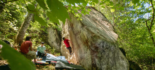
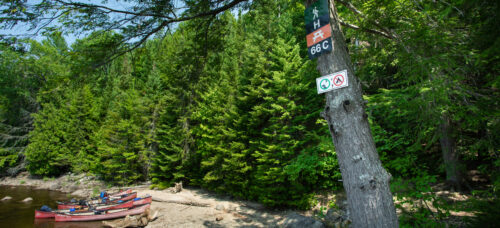
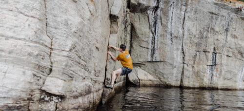
0,7 km ≈ 30 min 2 boulders 11 problems from V1 to V7-8
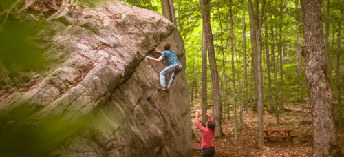
7 km ≈ 2h30 10 problems from V1 to V7-8
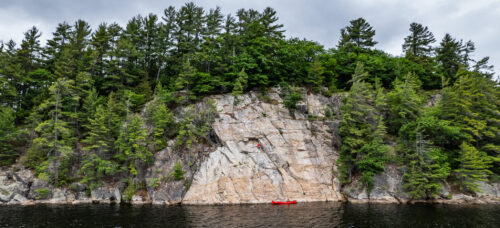
7 km ≈ 2h30 32 routes from 5.6 to 5.12
7 km ≈ 2h30 31 routes from 5.7 to 5.12
7,5 km ≈ 2h45 11 problems from V1 to V9
9 km ≈ 3h 12 routes from 5.5 to 5.11
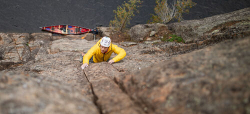
15 km ≈ 5h 28 routes from 5.5 to 5.12
5,5km
around 1h15 Débutant
around 2h30 Intermédiaire
Around 4 hours Intermédiaire
Intermédiaire
around 4 hours Intermédiaire
Intermédiaire
Intermédiaire
Intermédiaire
Débutant
100m 1 min